


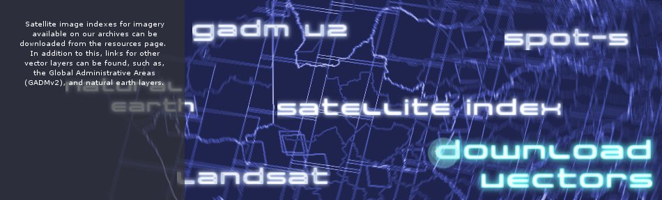


Download Vectors
Download SANSA satellite Indexes for a variety of satellite missions. Included as well are the links to other sites which allow you to download free vector data. The SANSA satellite indexes are downloadable as zipped files. Contained in the zipped files are the vectors in shapefile, and kml format. If you require, download and install 7-zip to extract the contents of the zipped folder.
SANSA Satellite Indexes
Download SANSA satellite indexes in shapefile and kml format from the list below. Use the indexes to help you identify the imagery you require and query acquisition information. Currently, indexes for SPOT 5 imagery for 2006 - 2012 are and Landsat 5 & 7 are downloadable. Please note that image metadata is also downloadable for satellite imagery available on the SANSA Earth Observation catalogue.
- SPOT 5 RSA Index - 2006.zip
- SPOT 5 RSA Index - 2007.zip
- SPOT 5 RSA Index - 2008.zip
- SPOT 5 RSA Index - 2009.zip
- SPOT 5 RSA Index - 2010.zip
- SPOT 5 RSA Index - 2011.zip
- SPOT 5 RSA Index - 2012.zip
- LANDSAT 5&7.zip
Natural Earth
Natural Earth is a public domain map dataset available at 1:10m, 1:50m, and 1:110 million scales. Featuring tightly integrated vector and raster data, with Natural Earth you can make a variety of visually pleasing, well-crafted maps with cartography or GIS software. In addition to vector data, natural earth offer raster data at various scales for creating maps.
Global Administartive Boundaries
GADM was developed to support various activities, including georeferencing of textual locality descriptions (the BioGeomancer project) and for mapping census type data.
Some known issues for GADMv2 South Africa
GADM contains the boundaries of the magisterial districts which were in place in South Africa prior to the multiple rounds of local govt. redemarcation that took place after 1994. This is valuable -- itit makes it possible to compare stats which were collected for 100+ years on a magisterial district basis with more recent data. But for reference, current border data is available from http://www.demarcation.org.za/
Demarcation Boundaries
In terms of section 155(3)(b) of the Constitution, the Municipal Demarcation Board is an independent authority responsible for the determination of municipal boundaries in South Africa. Boundary vectors for wards, districts, local municipalities and provinces are available for downloadable.
OpenStreetMap
The OpenStreetMap project creates and distributes free geographic data for the world. Unlike proprietary datasets like Google Map Maker, the OpenStreetMap licence allows free access to the full map dataset. Users can download the full dataset or portions of it. Users can also create free accounts to contribute and improve to the project.
Digital Soil Map of the World
The vector data set is based on the FAO-UNESCO Soil Map of the World. The Digitized Soil Map of the World, at 1:5.000.000 scale, is in the Geographic projection (Latitude - Longitude) intersected with a template containing water related features (coastlines, lakes, glaciers and double-lined rivers). The Digital Soil Map of the World (except for the continent of Africa) was intersected with the Country Boundaries map from the World Data Bank II (with country boundaries updated to January 1994 at 1:3 000 000 scale), obtained from the US Government. For Africa, the country boundaries are derived from the FAO Country Boundaries on the original FAO/UNESCO Soil Map of the World. Country boundaries in both cases were checked and adjusted in certain places on the basis of FAO and UN conventions.
About Resources
On this page you will find a variety of links with descriptions to earth observation resources, ranging from user guides, commercial catalogues to free data sources, other portals and softwares. Should you know of any other interesting links, please send them to us and we will add them to the resources webpage.
Learning Material
Radar Imagery
Earth Observation Portals
Contact Information
About Us

Affiliates

Department ofSience & Technology

Astrium - SpotImage